Written by: Griffin, Naturalist
The Strait of Juan de Fuca is a body of water in the Pacific Ocean located within the Salish Sea and is 154 km in length, its international boundaries are located between the United States and Canada. Named in 1787 by a fur trader named Charles William Barkely, a captain of the ‘Imperial Eagle’, for the Greek navigator who name is Juan de Fuca. Juan de Fuca sailed a Spanish expedition in 1592 in hopes of finding the renowned ‘Straight of Anián’ which was a Strait believed to grant access to the Northwest Passage from the Arctic Ocean to the Pacific Ocean, this was later discovered to be the Bering Strait that we now know of today.
Figure 1: A sculpture of Juan de Fuca, the Spanish explorer.
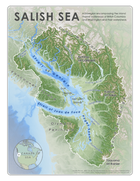
The strait of Juan de Fuca is defined as a channel that extends from the Pacific Ocean towards the Haro Strait, Puget Sound, and the Strait of Georgia. Land masses bounding this channel include the Olympic Peninsula in Washington, United States, and Vancouver Island in British Columbia, Canada.
The Strait is also used as a migratory passage for hundreds of marine species which represents a global significance in ecosystem services. Its intricate food-web is an ecologically biodiverse region that provides valuable ecosystem services for all species, including humans.
Figure 2: A map of the Strait of Juan de Fuca, showing the Strait itself as well as Puget sound and the Strait of Georgia. The Haro Strait is consistent throughout the in-between, neighbouring the West end of the San Juan Islands and the East end of Victoria, British Columbia.
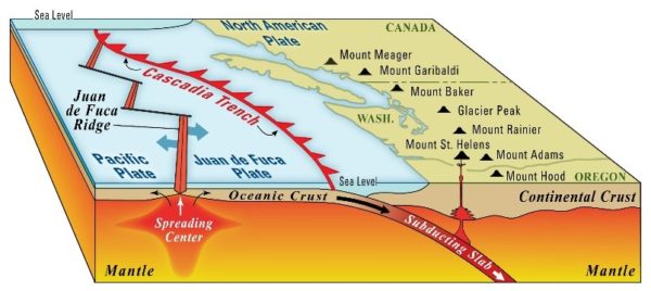
The maximum depth is around 305 m, or 1000 ft, and increases in depth near the entrance from the Pacific Ocean where the Jaun de Fuca Ridge is located. This 500 km long fault line is a convergent boundary that encompasses the Juan de Fuca Ridge moving Eastward and the Juan de Fuca plate moving westward underneath the North American Plate, forming the what is known as the Cascadia Subduction Zone. These plates are capable of producing a long-lasting earthquake and creating a tsunami that can reach 30 m, or 100 ft in height.
Figure 3: Diagram shows the Cascadia Subduction Zone, Tectonic plates converging and direction of movement.
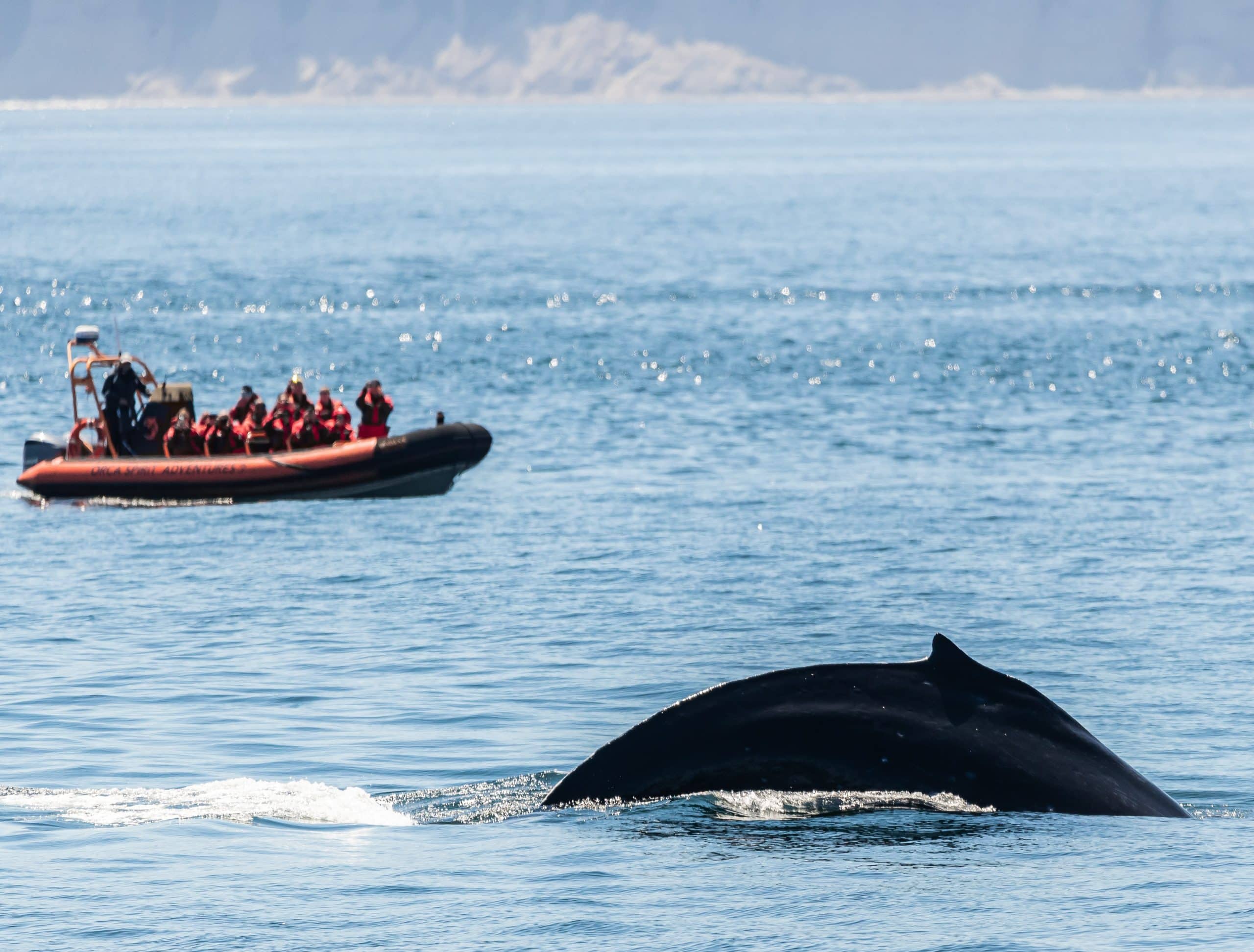
During our whale watching tour, we are fortunate to find whales using this body of water as a feeding ground and “highway” to get to and from the Pacific Ocean! To learn more about this area book on to one of our whale watching tours!


